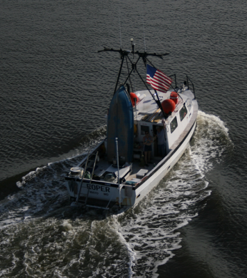
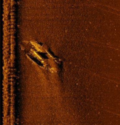
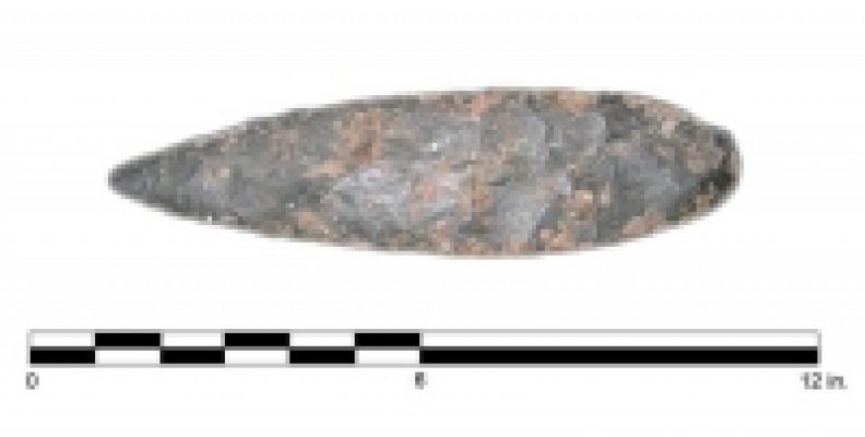
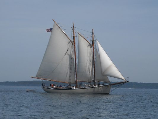
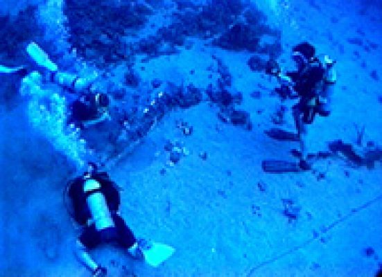
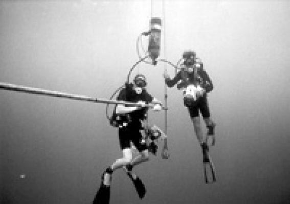
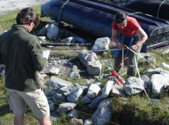
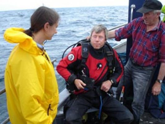
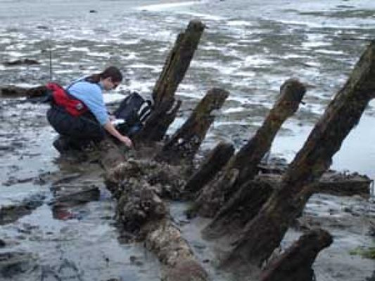
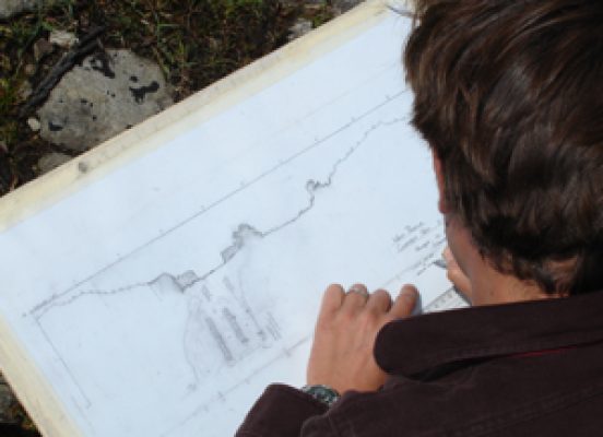
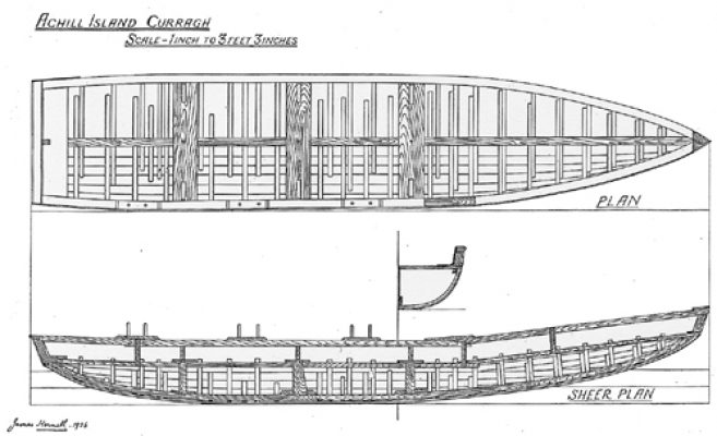
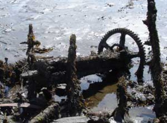
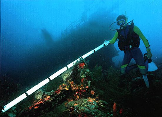
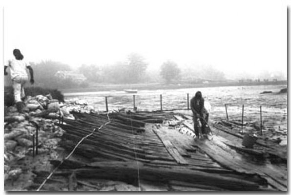
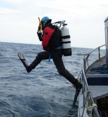
SHIP Sonar Image: A sonar image of a wooden shipwreck in Maryland waters.The Institute of Maritime History is conducting a multi-state project for State Historic Preservation Officers (SHPOs), using volunteer divers and researchers to scout for shipwrecks, assess them, gather archival data, and report their findings.
Overview of Boston Harbor IslandsIn 2001, a map was created of the above-ground and underwater landscapes and archaeological sites of Rainsford Island, one of the 34 islands located in Boston Harbor, Massachusetts. The project was conducted by the Institute of Maritime History (IMH) with support of the Center of Coastal and Ocean Mapping (CCOM) and sponsored by the Boston Landmarks Commission (BLC) and the Massachusetts Historical Commission (MHC).