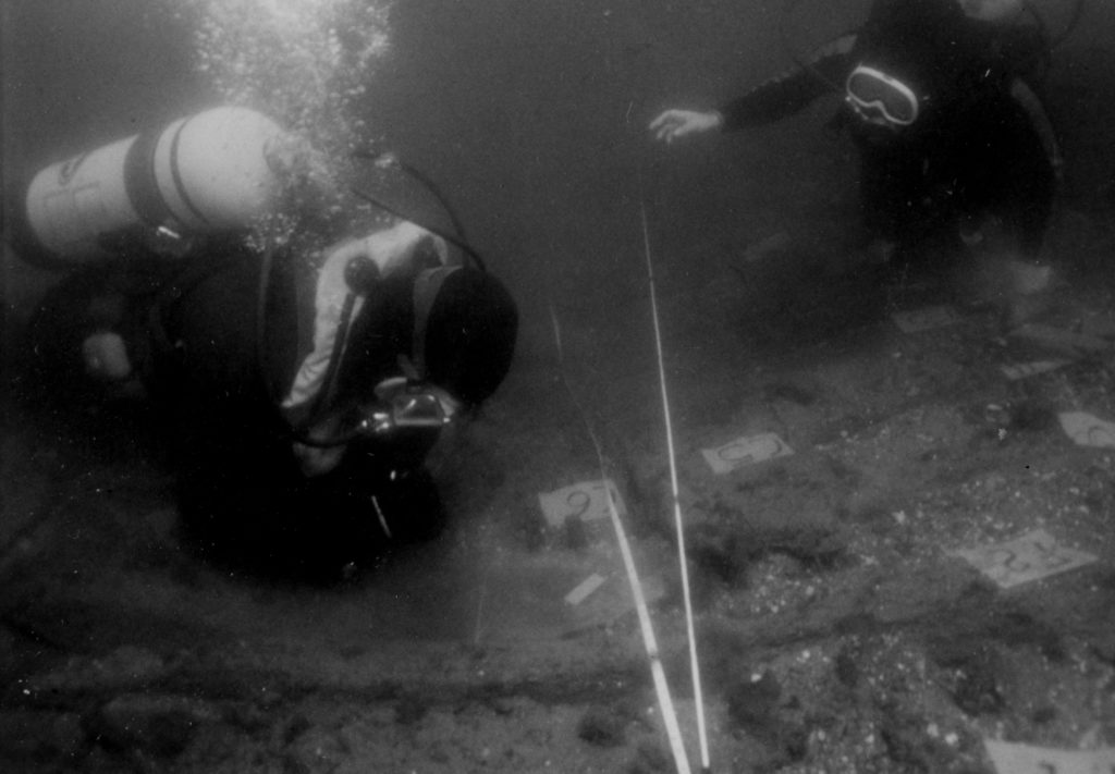
Blogs

2012 schedule updated

10 March 2012:  Maryland Historical Trust Archaeology Workshop, Crownsville MD.
24 March:  Middle Atlantic Archaeological Conference, underwater session, Virginia Beach VA.
26 March to 13 April:  Scan and assess approximately 137 wrecks in the Chesapeake Bay for the Maryland Historical Trust. Dive about 35 of them.

Another project for 2012

Upper Chesapeake Bay, and Fort Elfsborg, Delaware River

For a period of 37 days from 31 March to 6 May 2012 (more or less) IMH will collaborate with the Archaeological Society of Delaware and the Swedish Colonial Society to search for the remains of Fort Elfsborg, a fort built in 1643 by the colony of New Sweden on the New Jersey side of the Delaware River.  The fort was abandoned in 1651.

2012-2014 plans

IMH is initiating two big reconnaissance projects for the next two years.  Dates are tentative.

A lost Caravel lost in the sands of time

A lost Caravel lost in the sands of timeA lost Caravel lost in the sands of timeThe year was 1612, proudly three small ships were being keeled, three years later a turn of events will mark them in history. Little is known of the changes or modifications of what is referred to as the "Latin Caravel" similar in design to two of the three ships that Columbus sailed across the Atlantic to discover the New World in 1492, but changes in the course of the years did evolve.

fall plans

The schedule for autumn work in the Chesapeake has loosened up.  We finished the rivers reconnaissance project for Virginia DHR, and the big Chesapeake-Delaware recon project failed for lack of funding.

Still Here - Blanca, 11Sep2011


It's been almost a year since my last entry here-- sorry!  Work has progressed on Ballena Blanca, even though I almost uniformly forget to take pictures of the results.  Finally, here's somewhat of a progress report.

Wooden pegs and Volunteers

Only late yesterday did we discover any definite fasteners on top of the keel. Attached is a close-up of a wooden peg, or treenail, in the center at the top of the keel. We only found two of them, both at the northern end of the vessel. Perhaps they attached a stem or sternpost.

More Investigations in Seal Cove

It has been a flurry of activity in Seal Cove. We mapped the entire wreck with the exception of a timber that we will record tomorrow. We had volunteers lending a hand all week. As many as nine at a time. It has been a success as an outreach project, with several people having their first experience in maritime archaeology on the wreck. Volunteers learned trilateration, baseline offsets, drew profiles, measured frames and photographed fasteners. I gave a talk on maritime archaeology at the Schoodic Education and Research Center Wednesday night.

August - September plans revised

Roper is due home from St. Augustine on 13 August.  She will go immediately up the Potomac and resume reconnaissance at Mount Vernon from 15 to 26 August; then go to Quantico from 27 August to 2 September (?) to map one steamer wreck and search for several schooners, then go to Aquia to map pilings from a Civil War railroad terminal, and then perhaps go back to Mount Vernon to finish assessing the 80 sonar anomalies we found there last year.  She will return to homeport at Tall Timbers MD in late September or late October, whenever the work is done.

Site mapping in Seal Cove

We are well underway here in Maine, mapping the Seal Cove wreck. Placing a non-intrusive baseline proved problematic, but we were lucky to have two large boulders nearby to tie into. Since the wreck is in the intertidal zone, we can only work when the tide lets us. Each day has seen two shifts of mapping and numerous volunteers, from Acadia National Park staff to members of the local community. We have both east and west sides of the vessel mapped from zero to 38 feet. So far the most intriguing feature is the use of treenails, or wooden pegs, to hold the outer hull planking to the frames.

Syndicate content